
WHAT MY DAUGHTER’S FIELDWORK TAUGHT ME
Reflecting on how the scope of Geography fieldwork has been transformed by digital Geographical Information Systems (GIS) and AI, Richard Human suggests that the quality of any outcome still depends on long-standing techniques of critical evaluation.
Fieldwork then
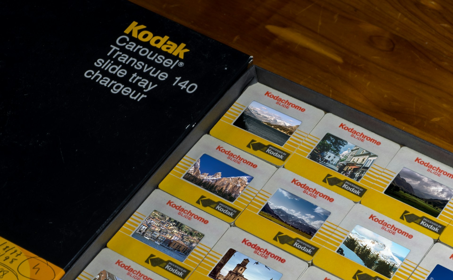
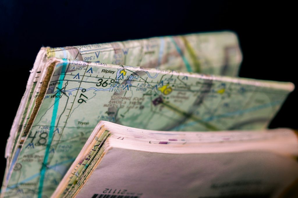
It’s 1985. My clipboard had a clear-plastic cover that never quite kept the rain out, and a pencil tied on with string because pens ran in the wet. I had a few sheets of squared paper for notes, sketches and hand-drawn cross-sections that would later be transferred, in ink, to a final report. My pre-digital camera was loaded with Kodachrome slide film that had to be sent away for processing and was then used to project slides onto the wall which were traced onto A4 paper. My base map was an Ordnance Survey sheet, folded along worn creases. If I wanted census data, I wrote to the local library.
Fieldwork now
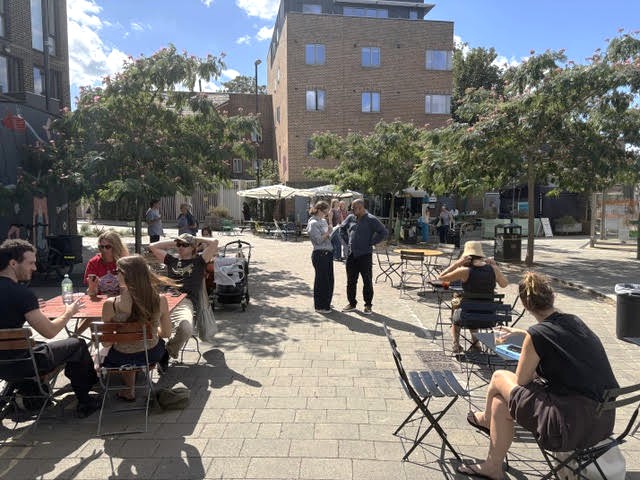
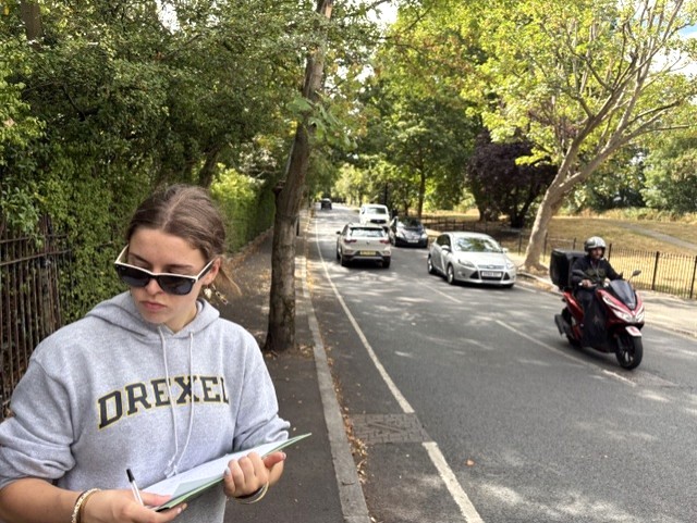
That image came into sharp focus recently when I found myself supporting my daughter through her own A-Level Geography Non-Examined Assessment (NEA) data collection, which was about an investigation into social inequality across two contrasting parts of South London. What struck me most wasn’t any single output, but the role AI played in the planning phase: less a tool she used, more an assistant and coach she consulted. Her original idea, comparing Brockley with Wimbledon, was a sharp socio-economic contrast on paper, but AI pointed out something a non-Londoner might not have thought to question: the two places are a considerable distance apart. It suggested Brockley and East Dulwich instead, a pairing that kept the contrast she wanted but made a single day’s fieldwork actually possible.
From there, it helped her draft an environmental quality survey and land-use classification tool, then sourced Census and Index of Multiple Deprivation data to support her primary fieldwork. At the end of the day, Google Lens pulled extra information from the photographs she’d taken along the way. Watching all of that unfold, I kept catching myself reaching for the word “better.” I want to resist that word, because I don’t think it’s the right one.
Richer is the word I’d choose instead.
In the 1980s, the boundary of my investigation was set largely by my own capacity to gather data, limited by what I could physically carry, who I could talk with, what I could see, and write down in a day. Secondary data, where I could get it, was old, aggregated at a scale too coarse to be much use, and hard-won. And critically, apart from my overworked teacher, there was no second opinion on any of it. No way to sense-check my hypothesis against a wider dataset before I’d already spent a Saturday collecting primary data that might, on reflection, have been the wrong data to collect.
Today’s student, in partnership with AI, has a fundamentally different relationship with the scope of an investigation. A hypothesis can be tested for feasibility before a single measurement is taken. Secondary data that once took weeks to request can be integrated the same afternoon, at a resolution that simply wasn’t accessible to a sixth-former in 1985. A route that would have taken an evening of ‘blind’ ruler-and-pencil work on an OS map can be built, annotated, and shared as an interactive layer before the bus home. And a single photograph, rather than being a fixed and finite record, can become a prompt for further inquiry: what is this building? When was it likely to have been built? What did this street used to be?
AI and geographical thinking
None of that makes the resulting geography truer. It makes the process of doing geography more generative, offers more chances to ask a better question, check a weak assumption, or notice a pattern that would otherwise have gone unseen until it was too late to act on it.
That’s also where I think the real risk sits. The worry isn’t that AI does the geography for the student. Used properly, it doesn’t. It drafts, suggests, and organises, while the interpretive and evaluative work stays with the student. The, perhaps, more interesting risk is quieter: that the sheer fluency of the output makes it tempting to skip the verification step entirely. My squared-paper investigation was slow, but its slowness came with a kind of built-in scepticism, I couldn’t help but scrutinise every data point, because I’d sweated for each one. The inevitable mistakes were my own.
Today’s student has to build that scepticism deliberately, as a discipline, precisely because the tools are so capable of producing something that looks finished long before it has been checked. Cross-referencing secondary data against the original source, checking a route against what’s actually on the street, testing every metric against the exam board’s specification. None of that is optional extra work anymore. It’s the work of a student in an AI world.
Better Geography?
Whether the modern process produces a better geographer is a different question, and a harder one as it depends entirely on whether the extra capability is spent on genuine enquiry or on shortcutting the thinking altogether. That’s not a technology question. It’s one about teaching and learning. What’s more, it’s the same question every generation of geography teachers has faced with every new tool, from the pocket calculator to the trundle wheel to the handheld GPS to the smartphone in every pupil’s pocket.
What I’m confident about is this: the outcomes available to a student today are potentially greater than anything available to me in 1985, not because the fieldwork is easier, but because the ceiling on what a well-supported, critically engaged student can find out has moved a very long way up. Whether any individual investigation reaches that ceiling still comes down to the same thing it always did: a good question, a careful method, and someone willing to check their own working. AI hasn’t changed that. It’s just changed how far you can go once you get it right.
Continuity and change
What earns the marks now is what always should have earned them: the quality of the question, the judgement behind the method, and the pupil’s ability to interrogate, verify, and sometimes reject what the sources (now augmented by AI) has handed them. These are skills that need to be taught explicitly, not assumed. There’s also a good case for doing it in the classroom rather than leaving it to pupils working alone at home. If teachers work through this planning and scoping process together with their class, they can guide and support pupils’ use of AI in real time, while learning, first-hand, how AI can support their own teaching. Done this way, teachers will soon start spotting other ways to bring AI into their lessons. The coursework becomes a training ground for the teacher as much as the pupil and a rich source of discussion.
It also means being honest with pupils, from the outset, about where AI support is legitimate scaffolding and where it tips into doing the thinking for them. This is a line examination boards are still searching for, and one every department will need to draw for itself in the meantime.

Richard Human delivers the AI Safe Schools Programme through Consilium Education. He is a Founding Fellow of the Chartered College of Teaching, an adviser to Cambridge University Press & Assessment, and a member of the OECD Future of Education Network.
See also Richard’s video about his daughters work : Partnering with AI: Modernising A-Level Geography Fieldwork
FEATURE IMAGE: by Nathan Anderson on Unsplash
Support Images: by Ezekiel See on Unsplash and our thanks to Richard and his daughter
